
Merrillville ZIP Directory Coverage
Three postal areas appear with Merrillville in the inspected Census geography context: 46410, 46307, and 46342. That association is a starting point, not a claim that each ZIP code lies wholly inside town. USPS routes mail, Lake County maps parcels, and Census ZCTAs approximate postal areas for statistics. A sound Merrillville ZIP code directory preserves those differences instead of drawing one false boundary around all three.
| ZIP | Area connection | Postal service point | Research note |
|---|---|---|---|
| 46410 | Primary Merrillville postal community | Merrillville Post Office | Confirm each street and unit through USPS |
| 46307 | Crown Point postal area associated with Merrillville geography | Check the address's USPS result | Postal city does not settle legal municipality |
| 46342 | Hobart postal area associated with Merrillville geography | Check the address's USPS result | Compare parcel Post_Code and LoczipCode |
The county postal-boundary map also shows neighboring post offices and communities. Crown Point, Hobart, Gary, Schererville, and unincorporated areas may share or border the same postal landscape. Neither a mailing label nor a broad map proves where a town line crosses one parcel.
Search Merrillville ZIP Fields
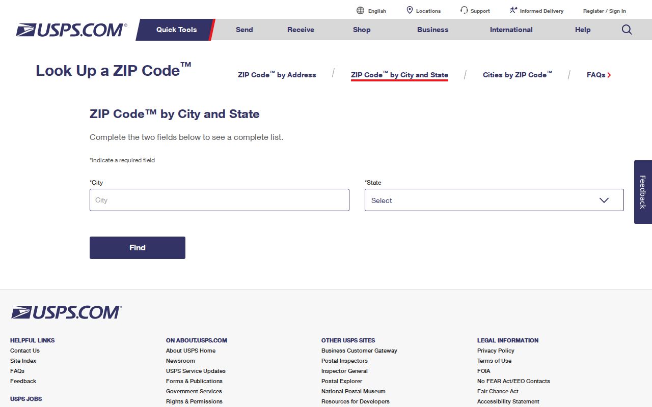
The USPS ZIP Code Lookup has three routes. By Address is best for a known home or business address. By City and State returns postal information for a named community. Cities by ZIP works in reverse. If several address matches appear, USPS advises adding the street or unit detail instead of choosing by guess.
| Lookup route | Fields and use |
|---|---|
| By Address | Optional company; required street; apartment, suite, or other unit; city; state; optional ZIP; Find |
| By City and State | City and state, then Find, for recognized postal names and ZIP information |
| Cities by ZIP | Enter the ZIP to see recognized city names linked to that postal code |
USPS states that its result does not confirm a person or company at the address. This is a key limit, not fine print. The result validates delivery format. Ownership and legal geography must come from other official records.
The official USPS lookup is the first check for a Merrillville postal form.
Merrillville's 46410 Post Office
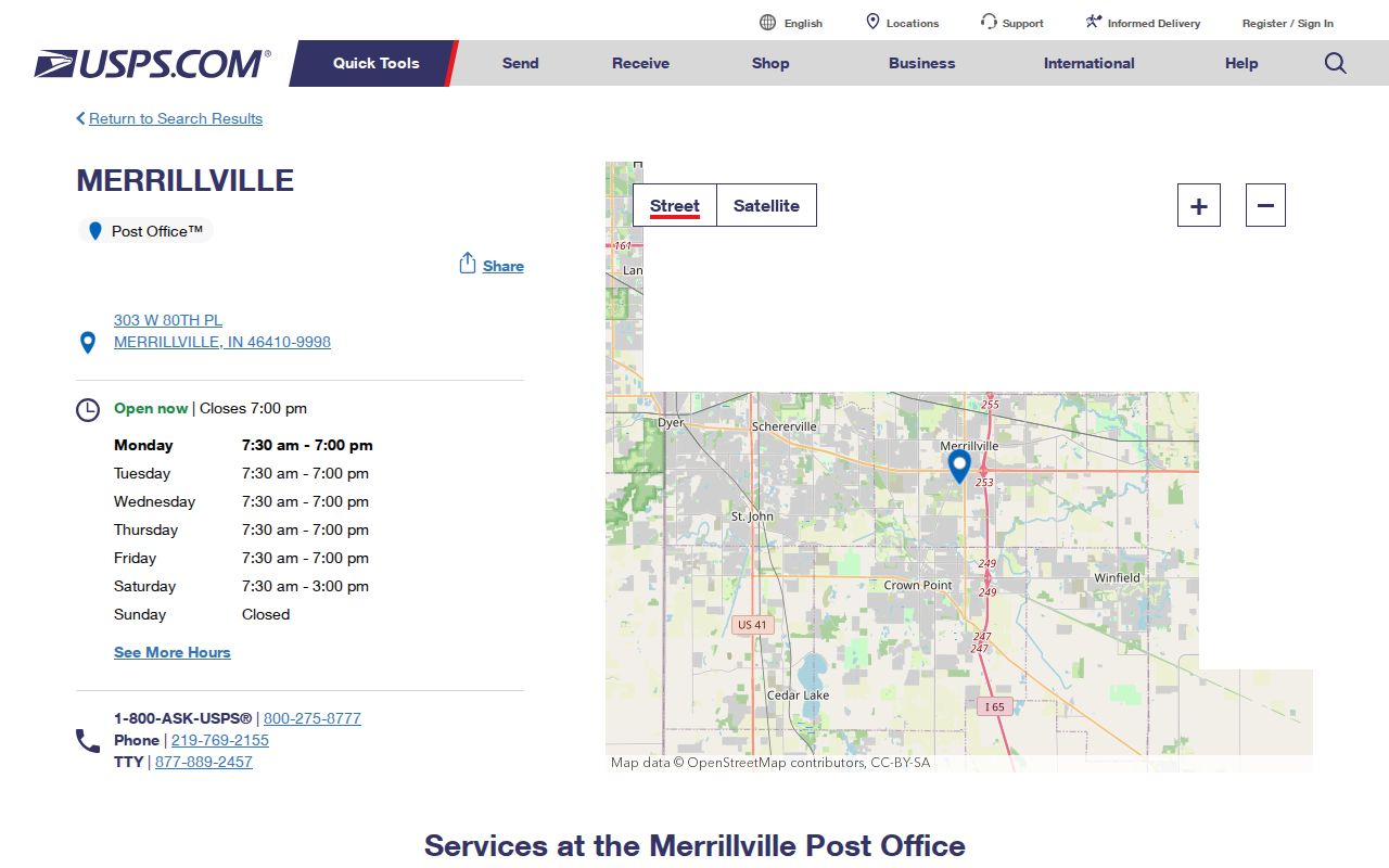
The Merrillville Post Office is at 303 W 80th Place, Merrillville, IN 46410-9998, with phone service at 219-769-2155. Inspected hours were 7:30 a.m. to 7 p.m. Monday through Friday, 7:30 a.m. to 3 p.m. Saturday, and closed Sunday. Holiday schedules and services can change, so check the live location page before a visit.
Call this office for postal-service and delivery questions, not to verify a private occupant. The location page links nearby Crown Point and Schererville facilities when another station is a better fit. County Surveyor, Planning, GIS, or Assessor staff are the better contacts for legal parcel and municipal-boundary issues.
Current counter details and service notices appear on the USPS Merrillville Post Office listing.
Find Merrillville Records by ZIP
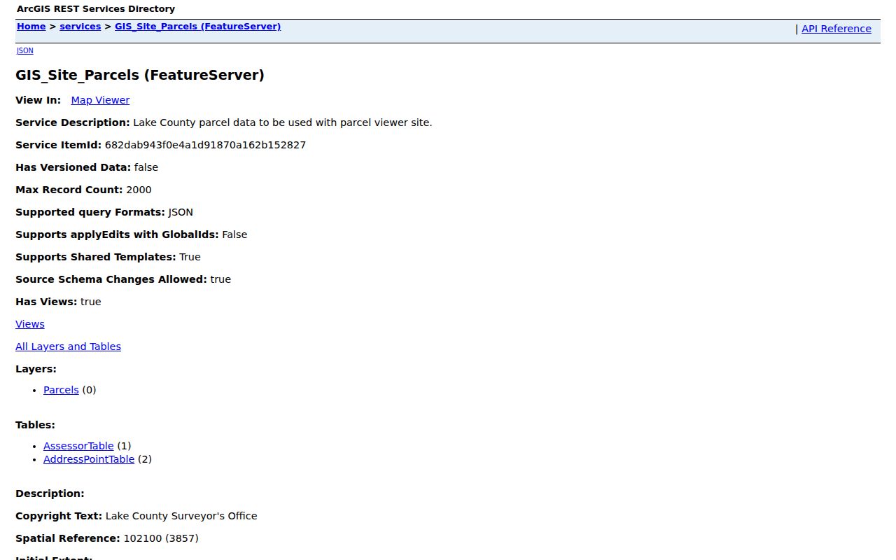
A ZIP code is most useful as a narrowing tool. Begin with postal form, then move to address-point and parcel records. The Lake County GIS parcel service can expose a parcel ID, situs and mailing fields, legal description, acreage, property class, and links to county resources. It maps a record. It does not identify a current resident.
- Run the exact street and unit through USPS. Save the recognized postal city and ZIP.
- Compare the county AddressPoint or parcel service. Keep postal fields separate from legal-locality fields.
- Use the parcel ID, or PIN, in Lake County Assessor Engage. Note owner data, record date, and any covered-person suppression.
- For a deed question, carry the PIN or legal description to the Lake County Recorder index or office.
- If lawful voter geography is needed, confirm the precinct at Indiana Voters or with Lake County Elections. Do not infer a person from a ward map.
Once a ZIP narrows the area to a named road, the Merrillville directory by street explains the full address-keyed chain without turning this postal workflow into a street roster.
Merrillville ZIPs in County GIS
The county parcel layer makes an important distinction between local and postal labels. Fields such as Loccity and LoczipCode concern local address data, while Post_Comm and Post_Code hold postal community information. Preserve both when they differ. The unit also matters because one parcel can hold many address points.
| GIS field | What to record |
|---|---|
| Post_Comm / Post_Code | Postal community and ZIP shown by the county data |
| Loccity / LoczipCode | Locality fields that may differ from the postal label |
| PARCELID or PIN | County key used to connect the map and assessor record |
| Situs and mailing address | Property location versus the address used for mail |
| Legal description | Recorded land description, not a postal route |
A parcel map can also place an address near roads, drains, and jurisdiction lines. Turkey Creek, Deep River, I-65, U.S. 30, Broadway, and Taft help orient Merrillville, but none substitutes for an exact boundary layer or survey.
The public Lake County parcel service shows the field structure behind this comparison.
Merrillville ZIP and Town Limits
The Town history describes Merrillville as about 31 square miles, roughly bounded by 53rd Avenue, 101st Avenue, Whitcomb Street, and County Line Road. Those broad historical bounds are useful context. They are not a live postal or parcel map. Likewise, the Lake County postal-boundary PDF carries an informational disclaimer and is not offered for legal, engineering, or surveying use.
A Merrillville mailing label may sit outside the legal town, while a parcel inside town may carry another recognized postal city. Census ZCTAs add a third layer. They are generalized statistical approximations of ZIP geography, not USPS delivery zones and not legal municipal limits. A careful ZIP code directory labels each layer and cites its date.
- ZIP and ZIP+4
- A ZIP routes mail to a broad delivery area; four added digits narrow the route or destination.
- PO-box ZIP
- A code or range used for mail received at post-office boxes rather than street delivery.
- Unique ZIP
- A code assigned to a single high-volume organization. Research found no basis to label one of Merrillville's listed codes unique.
- Carrier route
- A postal delivery path within a ZIP, not a legal neighborhood line.
Lottaville's Merrillville Postal Clue
Lottaville once served as a U.S. Post Office address in the Merrillville area. The old name is a useful reminder that postal communities change while place names survive in maps, newspapers, deeds, and family files. McGwinn Village, Wiggins Point, Centerville, Deep River, Turkey Creek, Ainsworth, and Rexville can also act as search terms when a modern ZIP returns nothing useful.
For a dated Lottaville reference, compare the Indiana State Library's maps and county guides with Lake County Public Library newspapers and the Merrillville/Ross Township Historical Society files. Record the year, township, post-office context, and current GIS location separately. No official source establishing a Merrillville ZIP split or realignment history was found, so an old post-office name should not be converted into an invented ZIP timeline.
Merrillville ZIPs, Wards, Parcels
Postal codes do not identify a ward, precinct, school area, conservancy district, or parcel. Lake County Elections publishes precinct and town ward maps, then directs voters to Indiana Voters for confirmation. The county GIS identifies parcels and address points. DNR listings identify the Merrillville and Independence Hill conservancy districts for civic infrastructure. Each has its own purpose and update schedule.
| Layer | Main purpose | Best official check |
|---|---|---|
| ZIP | Mail routing and address format | USPS |
| ZCTA | Census statistics | Census data |
| Ward or precinct | Election geography | Lake County Elections and Indiana Voters |
| Parcel | Land and assessment identity | Lake County GIS and Assessor |
| Town boundary | Municipal jurisdiction | Current town and county mapping |
When two layers disagree, do not force them to match. Record both values, the source dates, and the question each source was designed to answer.
Merrillville ZIP Codes Prove Less
A ZIP result proves neither occupancy nor ownership. It may show only that USPS recognizes a delivery form. The assessor can identify a recorded owner, yet that person may use a different mailing address and may not occupy the parcel. A voter record is governed by its own rules and date. These distinctions keep the Merrillville postal directory useful without turning a broad postal area into a claim about one person.
Search tip. Save postal ZIP, legal municipality, parcel ID, precinct, and source date in separate fields so one geographic label never replaces another.
For archive work, rural-delivery maps, old directories, newspapers, and owner maps can explain an earlier address. Ask the library or historical society for one date and source at a time. When no official split history is documented, say so and leave the question open.