
Merrillville Neighbor Record Layers
Each public source answers a narrow question about a block. The Lake County Assessor maintains assessment records, while the Surveyor publishes GIS resources. Neither office maintains a complete list of all Merrillville neighbors or occupants.
| Source | What it shows about a block | Access |
|---|---|---|
| Parcel polygons | Boundaries, PINs, legal and land fields | GIS hub and REST service |
| Address points | Full address, unit, postal community and ZIP | GIS address-point layer |
| Assessor record | Deeded owner, transfer and parcel details when public | Engage portal or office |
| Ward and precinct maps | Civic geography, not resident names | Lake County Elections |
| Plats and historic maps | Subdivision lots and older block context | Recorder and State Library |
The owner on a tax record may live elsewhere. A mailing address may serve a trust, company, estate, or agent. Renters and other household members may not appear. Public records can define the block without answering exactly who the neighbors are.
The official Assessor office page shows the county custodian and its property-record role.
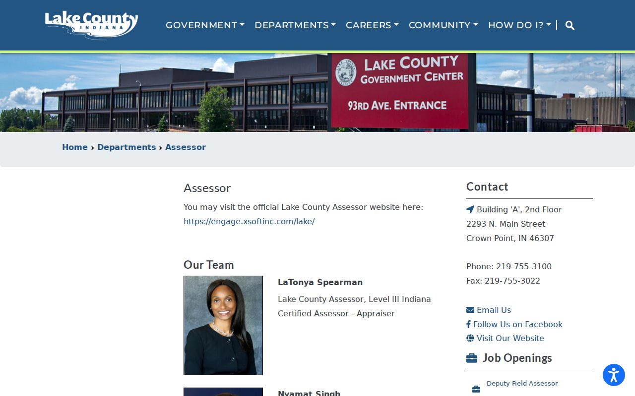
Use that office for record-card questions or suppressed fields, and record the date of any answer.
Map a Merrillville Block
Begin with one known address in the Lake County Surveyor GIS hub. The map viewer did not render during unattended research, so the documented REST layers are the reliable guide to available fields. Do not claim that a buffer or selection tool exists unless the live viewer shows it.
- Normalize the address, including direction, suffix, unit, postal community, and ZIP.
- Find its address point and PIN, then locate the matching parcel polygon.
- Inspect only the immediately touching polygons needed for block context.
- Check legal descriptions and recorded plats when a boundary looks unclear.
- Label results as parcels shown on the public GIS on the recorded data date.
The Lake County Parcels Assessor View item identifies the official mapping resource.
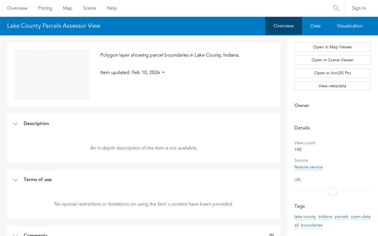
The item was updated May 25, 2026. Treat that timestamp as map context, not as proof that a listed person occupies a parcel now.
For a complete named-road chain, move to the Merrillville street directory. A neighbor lookup should stay focused on the immediate block.
Merrillville Address Points Differ
The GIS address-point table contains `Add_Full`, postal community, postal code, unit type, unit ID, and PIN. Its recorded data date was July 31, 2026, and its maximum result count is 2,000. Narrow a query to one address or small area. The cap is not an invitation to export a blockwide name list.
The parcel annotation layer offers another view of mapped parcel data through the official ArcGIS service.
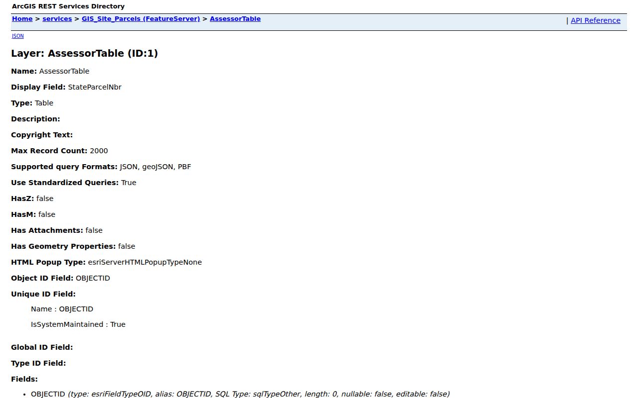
REST means a structured data endpoint used by the map. Its fields and limits describe the service, but a raw response still needs date, source, and privacy context.
- Parcel
- A mapped piece of land identified by a PIN.
- Situs address
- The location assigned to the parcel, which may differ from the owner's mailing address.
- Adjacent
- Sharing a mapped boundary; it does not mean people know or contact one another.
- Plat
- A recorded drawing that sets out lots, blocks, streets, and other subdivision details.
Surveyor Context for Merrillville Neighbors
The Lake County Surveyor works with official maps, section corners, computerized GIS, and roughly 600 miles of county drains.
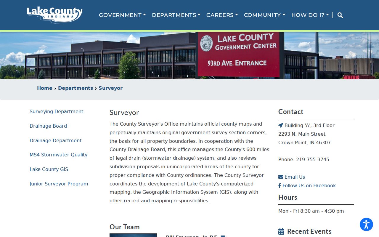
The Surveyor can help with historical cards, parcel splits, map copies, and section-corner questions. Call 219-755-3745 and ask for a specific parcel, plat, or map. Do not infer flood risk merely because Turkey Creek, Deep River, or a drain appears near a block. That requires a current official flood source or survey.
Merrillville's main roads include I-65, U.S. 30, Broadway/Route 53, and Taft. They help orient broad areas, but exact access, municipal status, and parcel boundaries still come from the map and legal record.
Merrillville Neighbors and Wards
Ward, precinct, postal, and town boundaries answer different questions. The Lake County Town Ward Maps page provides seven Merrillville ward-map links.
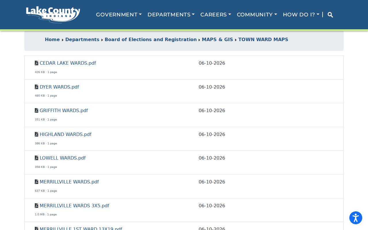
A ward map shows representation geography. It does not name neighbors, and a ward is not the same as a voting precinct. Confirm an individual's own registration and polling place through the Indiana Voters portal.
Indiana's public voter-file rules also do not justify a custom neighbor list. A VRG-24 request carries limits on the use and transfer of data, and a county need not create a report it does not already hold. Protected program records and proof documents remain confidential.
Note: Registration is dated civic data, not proof that a person continuously lives at an address or belongs to a household.
Historic Merrillville Block Clues
Older maps can explain why modern adjacent parcels have unusual shapes. The Indiana State Library map list includes owner maps, rural-delivery material, atlases, and a 2001 Merrillville town map.
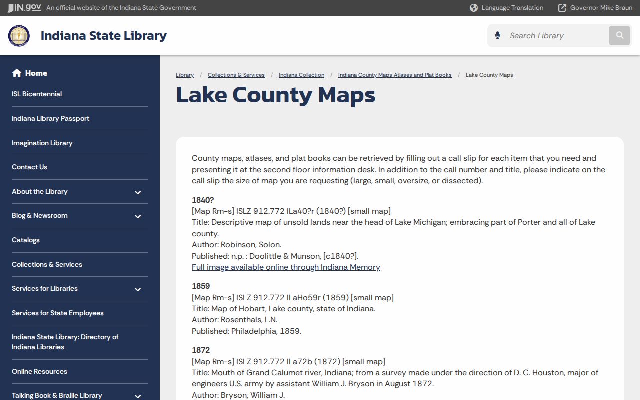
Compare a dated map with the current legal description and recorded subdivision plat. Historical names such as McGwinn Village, Wiggins Point, Centerville, Deep River, Turkey Creek, Ainsworth, Lottaville, and Rexville are useful archive search terms, but they are not modern legal boundaries.
The Merrillville Branch has local newspapers, maps, directories, and pamphlet files. The Merrillville/Ross Township Historical Society offers artifacts and photographs by appointment or seasonal Sunday hours. IU Northwest's CRA056 collection includes two maps, precinct material, community pamphlets, clippings, and school or church items. Ask each repository for one dated place or item, and follow its reproduction rules.
Merrillville Community Record Stops
No authoritative umbrella directory of Merrillville neighborhood associations or HOAs was found. Do not invent one or present private rosters as public. Civic and archive offices can still explain the setting of a block without publishing member households.
LCPL Merrillville Branch
1919 W 81st Avenue
219-769-3541
Directories, local papers, maps, obituary index, and scanning.
Historical Society
13 W 73rd Avenue context
219-756-2042
Appointment and seasonal access to photos, artifacts, and local articles.
IU Northwest Archives
3400 Broadway, Gary
219-981-4281
CRA056 maps, clippings, programs, and community pamphlets.
Town Hall
7820 Broadway
219-769-5711
Planning, zoning, permits, minutes, and narrow public-record requests.
Congregation, club, school, or association material may document a historic community network. Keep it source-dated. It should not be turned into a present-day profile of neighbors.
Official Merrillville Neighbor Sources
Official rolls and commercial neighbor tools are not equal. County sources identify the custodian, update context, field meaning, and suppression rules. Commercial tools may blend old phone, marketing, and public data without showing when each item changed.
| Question | Official record route | Commercial category |
|---|---|---|
| Which parcels touch? | County GIS geometry | Map may lack official date or boundary source |
| Who holds recorded title? | Assessor plus Recorder deed | Name may be stale or unexplained |
| What is the ward? | County election map | Civic boundary may be omitted |
| Who lives there? | No complete official block roster | Inference may be wrong |
Paying for more fields does not turn an inference into proof. Verify the narrow fact with the office that created the record, and stop when the source suppresses a person or address.
Privacy for Merrillville Neighbors
Indiana law and good record practice set firm limits. Engage suppresses names or addresses of covered people under IC 36-1-8.5. The Address Confidentiality Program uses substitute addresses for qualifying survivors, and voter records can be marked confidential. Do not combine parcel shapes, mailing data, deeds, and old maps to guess a protected location.
Leave out full birth dates, signatures, phone numbers not published for official contact, and private emails. A GIS hit should be described as an adjacent parcel shown on a dated public map. It should not become an invitation to visit, contact, follow, or monitor anyone.
Lawful use. Use Merrillville neighbor records for civic geography, block history, parcel questions, or personal safety awareness. Never use them to stalk, intimidate, harass, or harm a person.